The Town: Thorlakshofn
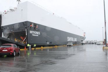
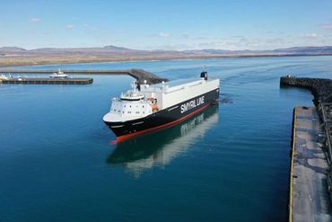
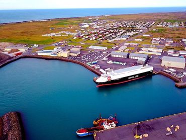
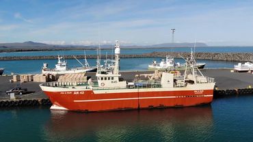
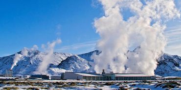
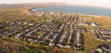
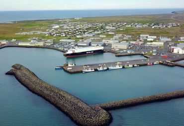
Þorlákshöfn i(Thorlakshofn) is a town on the southern coast of Iceland in the Municipality of Ölfus. The town is named after Saint Thorlak who was a bishop at Skálholt. Its main importance is as a port as it has the only harbor on Iceland's southern coastline between Grindavík in the west, an hour away, and Höfn 450 Km away in the east. The port has multiple direct weekly cargo ships to Rotterdam, Denmark and Germany and other ports operated by Faroese Smyril Line. It is also one of two departure points for ferries to the famous Vestmannaeyjar archipelago. Services in town include restaurants, tourism, golf course, motocross field, camping, sport complex and a swimming pool. It is the home of the Olfus municipality administration. The town has several fish processing enterprises as it was a major fishing town and is Iceland's fastest growing town and municipality. Thorlakshofn is a quick 30 min drive to the Capital of Reykjavik and the town has a new express road via the coast to Keflavik Int. Airport, about an hour's drive. World's largest Geothermal Power plant, Hellisheidarvirkjun - hot water and power generation, is nearby and supplies the area and region including the Capital 20 km away from the plant.

Photo Gallery
Olfus - the Muncipality
Quick Introduction to Olfus
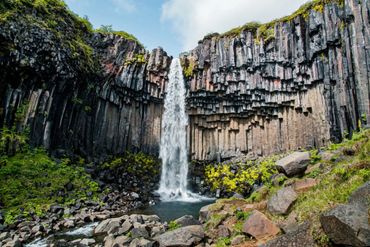
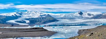
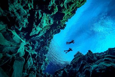
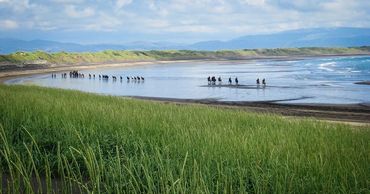
Ölfus municipality is located on the southwest coast of Iceland, approx. 50 km from Reykjavik capital. The population is slightly over 2000 inhabitants and is growing. Thorlakshofn is the largest town in the municipality with approx. 1600 inhabitants. Ölfus offers a wide range of beautiful landscapes with black sand beaches, cliffs, lava formations, caves, geothermal areas and vivid hot springs. From Thorlakshofn and all over the municipality you have sensational panoramic view over most of the south coast and over the volcanoes Mt. Hekla and Eyjafjallajokull and to the Westman Islands. Olfus is Iceland's fastest growing region now, thanks to its port, good supply of hot and cold water, seafood processing history and tourism. Multiple food and beverage companies have operations in and around Thorlakshofn.
Photo Gallery